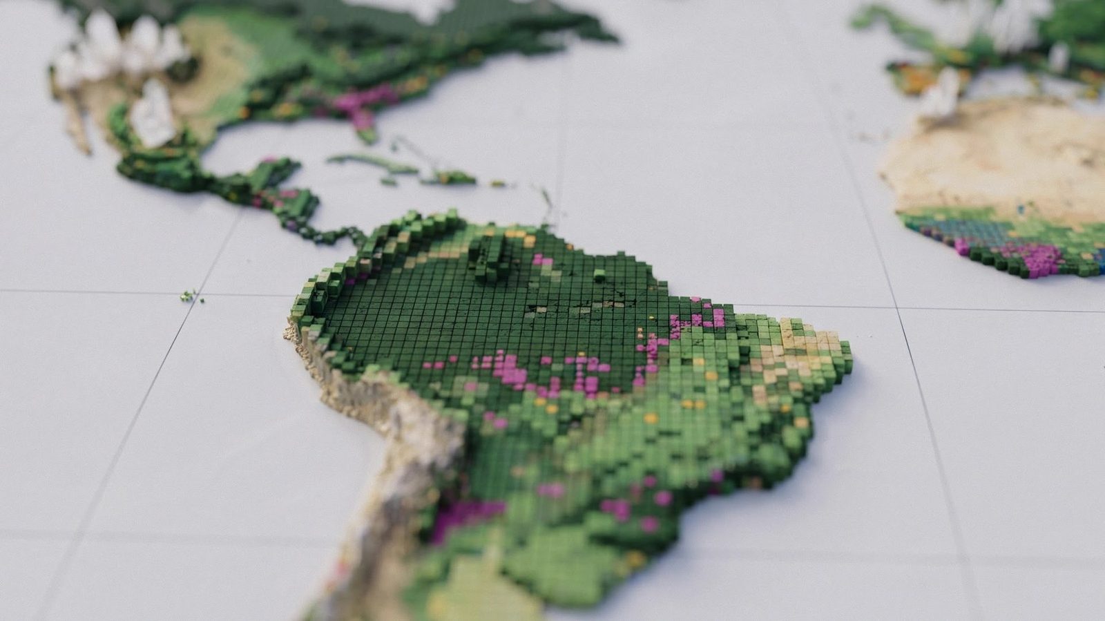
Google DeepMind and WRI release global AI forest-type map for 2020 land cover
Google DeepMind and the World Resources Institute have released ForTy, a global AI map that assigns 2020 land cover to six classes at 10-meter resolution to help distinguish forests, plantations and tree crops.
Google DeepMind and the World Resources Institute have developed ForTy, an AI map that distinguishes primary forests, timber plantations and tree crop farms worldwide. It assigns the world's land area in 2020 to six classes at 10-meter resolution and is described by its authors as the first global map of its kind.
Six land classes for EUDR reference
ForTy, short for Forest Typology, classifies land as primary forest, naturally regenerating forest, planted forest, plantation forest, tree crops such as oil palm, rubber or cocoa, and other land. The map shows the most common class in each square kilometer while the underlying data has 10-meter resolution. Earlier datasets, including one from the European Commission, cover only parts of the world.
The EU Regulation on Deforestation-free Products prohibits goods linked to forests cleared or degraded after December 31, 2020. Companies assessing supply chain risks need to know how a site was used in 2020, and ForTy provides that reference point.
Satellite model and expert corrections
ForTy runs on AlphaEarth Foundations, which compresses data from multiple satellites into a compact description of each pixel. Several image recognition models build on those descriptions. A first model learns from verified examples; its predictions, combined with outside data on tree heights, buildings and forest loss, become expanded training data for a second model. A final step analyzes several years of data together to smooth outliers.
During active learning rounds, experts added about 43,000 examples to address errors, including vineyards in Europe classified as tree crops, natural pine forests in Central America labeled as planted forests, and oil palms missed in Africa and Indonesia. The researchers use a 40-year rotation period to separate plantations from other planted forests, though they say the cutoff does not fit every region.
Accuracy, limits and availability
Two experts reviewed each of 8,190 randomly selected sites and found the map correct in 90.2 percent of cases. The authors warn that the overall score gets a large boost from the easy-to-identify other land class. The map correctly identified 89 percent of primary forests confirmed on the ground but found only about half of tree crops and planted forests and 60 percent of plantations.
On the same test data, ForTy outperformed European Commission maps made for the EUDR, scoring 95.5 percent compared with 93.6 percent for forest versus nonforest classification and 90.9 percent compared with 87.8 percent for forest types. The researchers estimate the world has about 4.1 billion hectares of forest, including nearly 3.9 billion hectares of natural forest, of which about 2 billion hectares are primary forest.
Regional errors remain. The map overestimates primary forest in Asia by about 200 million hectares, largely in Russia's conifer forests, and in Africa it misses about 94 million hectares of forest, likely because of open dry forests and savannas. About two-thirds of Sweden's forest area is planted, while natural forest covers only around one-fifth.
Some land uses remain difficult to classify. The map still labels shaded cocoa or coffee grown beneath a natural canopy as forest in some regions, and selectively logged or burned forests also pose problems. ForTy does not yet have a separate class for open woodlands, which the EUDR treats separately. The map, classification layer and test data are freely available under a CC BY 4.0 license, including in Google Earth Engine. Google DeepMind has released code in the GeeFlow and JEO repositories.
Sources: The Decoder
SiTech — AI-powered web development
We build fast, modern websites and bring AI into real business workflows. Have a project or a question? We'd love to help.