How MIT Technology Review mapped deaths along the US border's surveillance line
In a 15-month investigation, the newsroom analyzed nearly 4,000 cases and explained how it matched Border Patrol tower locations and installation dates against records of migrant deaths.
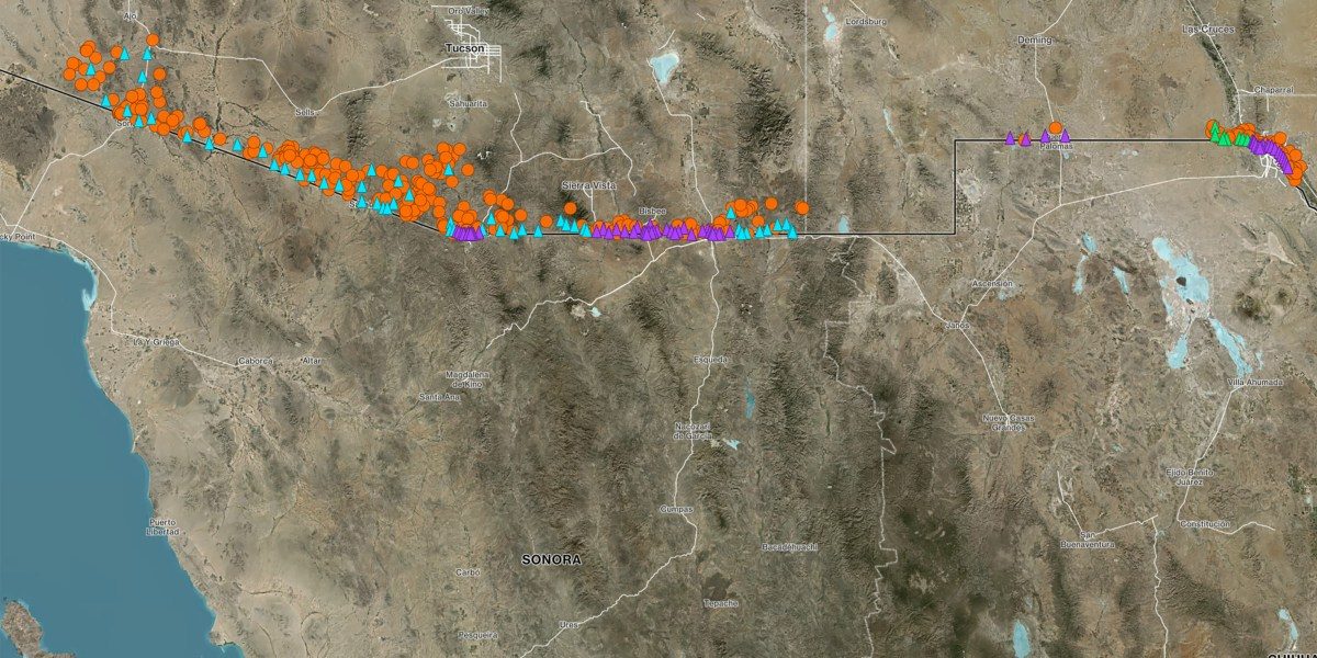
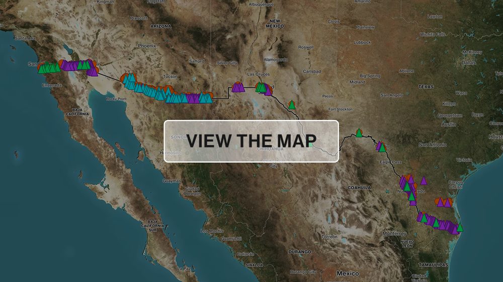
MIT Technology Review has published the methodology behind its map of deaths near US border surveillance towers, part of a 15-month investigation run with the San Diego newsroom Times of San Diego under the title “Dying on Camera.” Reporters worked through thousands of pages of government documents, visited the border several times and interviewed more than 45 people, among them Border Patrol agents, medical examiners and sheriffs.
Nearly 4,000 cases
Records date back to 2015. Databases compiled by No More Deaths, Humane Borders and the Electronic Frontier Foundation were merged with new records obtained from more than a dozen agencies. Sheriff's offices in 17 Texas counties were asked for files from July 2025, and usable records arrived from 14. In three counties with large volumes of paper, Anthropic's Claude was used through its API to pull coordinates, with samples checked by hand. More than 1,500 Texas cases, more than 1,700 Arizona cases and nearly 1,000 from No More Deaths entered the analysis.
Mapping the towers
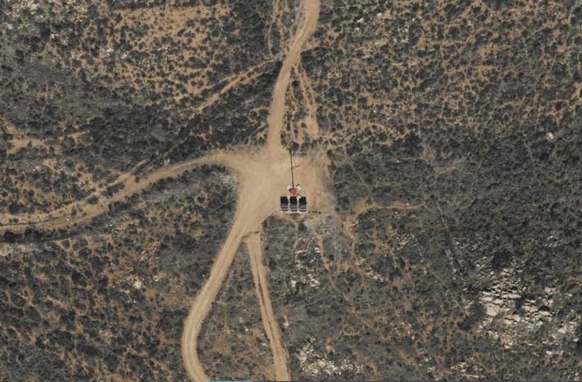
Tower data began with a database published by the Electronic Frontier Foundation in April 2026, plus towers that have since been removed. Government records suggest about 800 towers are deployed while EFF has logged roughly 600. Coordinates were verified in satellite imagery and installation dates reconstructed from imagery, documents and photographs.
Two conditions, clear limits
A death counted only if it fell within a tower's published surveillance range and the tower was already standing when the person was estimated to have died. Minho Kim, a Stanford postdoctoral researcher focused on wildfire mapping, led the distance and viewshed analysis, which used a topographic grid of 30-metre cells and an assumed eye height of 5'6". Where records were vague, the team assumed skeletal remains had lain in place at least six months.
The authors stress that the analysis establishes when a tower was present, not whether it was working or powered. The records cannot answer whether the government saw someone and failed to intercept them: Border Patrol does not disclose alerts around a given death, and footage is kept only if an internal investigation is triggered. CBP and Anduril replied to questions without addressing them substantively, General Dynamics deferred to CBP and Elbit did not respond.
SiTech — AI-powered web development
We build fast, modern websites and bring AI into real business workflows. Have a project or a question? We'd love to help.